
Introduction

BirdWatch Ireland has developed a set of hotspot maps to highlight areas of particular importance for various combinations of birds in Ireland.

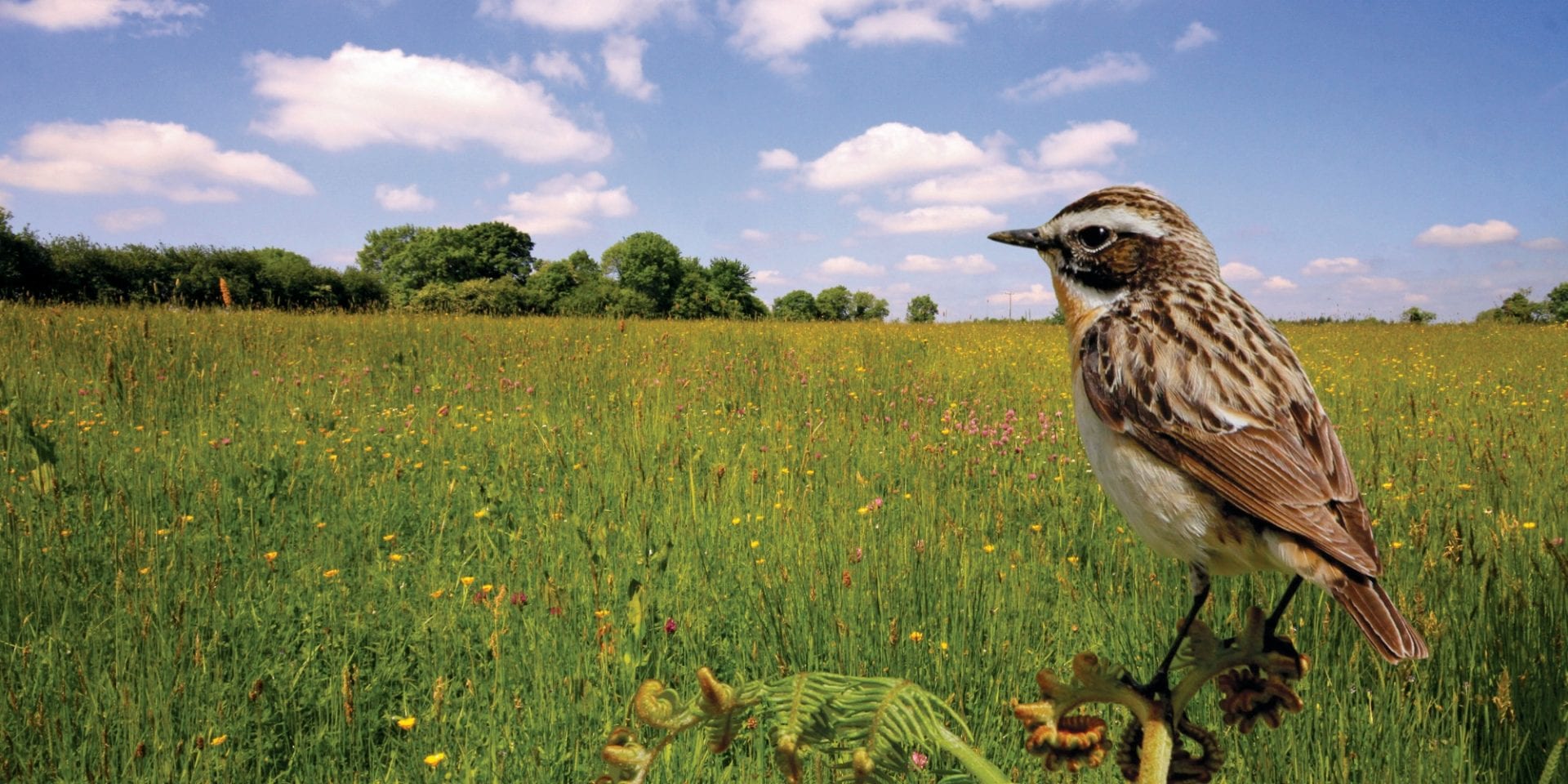
The Farmland Bird Hotspots map is based on twenty-eight species of birds that depend on farmland habitat. These include ground-nesting birds such as the Lapwing, Skylark, Meadow Pipit, and Corncrake, smaller birds of the countryside such as the Yellowhammer, Tree Sparrow and Twite, and birds of prey such as the Barn Owl, Kestrel, and Hen Harrier.

The Breeding Farmland Wader Hotspots map is focused on six species of breeding wader, including the Curlew, Redshank, Golden Plover and Snipe.

Our Approach

Many records from a wide range of validated datasets were gathered, and a scoring system was developed and applied to calculate a cell score for each 1 km square in the Irish Grid. The scoring system took into into account factors such as

• the species observed and its conservation status
• the season of the record (e.g. breeding season or winter season)
• the typical range of that species for that season
• any level of breeding evidence recorded
• the age of the record (more recent records score higher)

The 15% of grid squares with the highest scores were then selected as the key hotspots for that grouping of species in Ireland.

Complete details of the techniques used are available in the project report, and have also been published as a scientific paper in Irish Birds, Volume 45: 35-48 (2023).

Farmland Bird Hotspots

The Farmland Birds Hotspots map is based on records of the following species:

Curlew, Dunlin, Lapwing, Redshank, Golden Plover, Snipe, Twite, Red Grouse, Meadow Pipit, Hen Harrier, Skylark, Greenland White-fronted Goose, Whinchat, Corncrake, Grey Partridge, Barn Owl, Bewick’s Swan, Stock , Dove, Kestrel, Chough, Quail, Yellowhammer, Tree Sparrow, Barnacle Goose, Greylag Goose, Brent Goose, Whooper Swan, and Spotted Crake.

In addition to the online interactive map, the following downloads are also available:

Breeding Farmland Wader Hotspots

The Breeding Farmland Wader Hotspots map is based on records of the following species:

Curlew, Dunlin, Lapwing, Redshank, Golden Plover, and Snipe.

In addition to the online interactive map, the following downloads are also available:

Citations

Please cite this work as follows:

Kennedy, J., Finney K., Lusby, J., Moloney, D., Duggan, O., Donaghy, A. 2023. Mapping of Farmland Bird Hotspots: a method to assist targeting of agri-environment measures. Irish Birds 45: 35–48 (2023)

Acknowledgements

This project was supported by the Heritage Council under the Community Heritage Grant Scheme 2021. This project has also received complementary funding from the Department of Agriculture, Food and the Marine.

logo-for-the-department-of-agriculture-food-and-the-marine

The following agencies/organizations provided datasets for the purposes of this project.

BirdWatch Ireland

The Heritage Council

Department of Agriculture, Food and the Marine

National Parks and Wildlife Service

National Biodiversity Data Centre

Bord na Móna

  • Curlew Survey